UN
11 Britten Drive
£ 157,000
Description
We don't have a Description for this property.
- Bedrooms
- 2
- Bathrooms
- 0
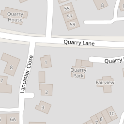
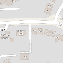
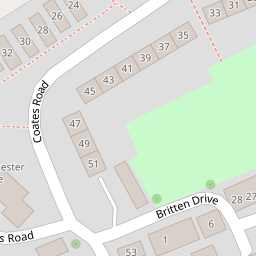
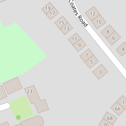

Leaflet © OpenStreetMap contributors
The heatmap indicates the level of crime in the area. The color of the heatmap indicates the crime severity and recency.
Metrics Year-on-Year
- Average area value
- 296,286.00 £Decreased by 13.22 %
- Average area rental value
- 1,262.00 £/moIncreased by 15.04 %
- Est rental Yield
- 5.11 %Increased by 32.38 %
- Crime Rate
- 3.00 %Unchanged by 0.00 %
from 341,435.00 £
from 1,097.00 £/mo
from 3.86 %
from 3.00 %
Nearby Schools
| Name | Type | Ofsted | Distance |
|---|---|---|---|
| Woodwater Academy | Academy Sponsor Led | Good | 0.32 KM |
| St Peter'S Church Of England Aided School | Voluntary Aided School | Good | 0.69 KM |
| St Nicholas Catholic Primary School | Academy Sponsor Led | Good | 0.82 KM |
| Belong School Devon | Other Independent School | 1.22 KM | |
| Whipton Barton Junior School | Academy Converter | 1.32 KM |
Images
Nearby Streets
| Name | Average Price | Average Sqft | Distance |
|---|---|---|---|
| Stanford Road | £ 350,000 | 0 | 0.00 KM |
| Warwick Road | £ 0 | 0 | 0.00 KM |
| Lethbridge Road | £ 250,000 | 0 | 0.00 KM |
| Salters Road | £ 0 | 0 | 0.00 KM |
| Ivy Close | £ 279,500 | 0 | 0.00 KM |
Nearby Transport
| Name | NLC | TLC | Distance |
|---|---|---|---|
| Digby And Sowton | 5753 | DIG | 1.84 KM |
| Polsloe Bridge | 3422 | POL | 1.94 KM |
| Newcourt | 9589 | NCO | 2.41 KM |
| Pinhoe | 5757 | PIN | 3.05 KM |
| St James Park (Exeter) | 5751 | SJP | 3.84 KM |
Nearby Listings
| Address | Price | Type | Score | Distance |
|---|---|---|---|---|
| Coates Road, Exeter, EX2 | £ 400,000 | BUY | Unknown | 0.11 KM |
| Broadfields Road, Exeter, EX2 | £ 395,000 | BUY | 6 / 10 | 0.12 KM |
| Farm Close, Broadfields, Exeter | £ 375,000 | BUY | Unknown | 0.16 KM |
| Grainger Close, Broadfields, Exeter | £ 309,500 | BUY | 7 / 10 | 0.17 KM |
| Plumtree Drive, Broadfields, Exeter | £ 300,000 | BUY | 5 / 10 | 0.20 KM |
Nearby Properties
| Address | Price | Distance |
|---|---|---|
| 8 Britten Drive | £ 154,950 | 0.00 KM |
| 5 Britten Drive | £ 500 | 0.00 KM |
| 11 Britten Drive | £ 157,000 | 0.00 KM |
| 26 Britten Drive | £ 500 | 0.00 KM |
| 9 Britten Drive | £ 500 | 0.00 KM |